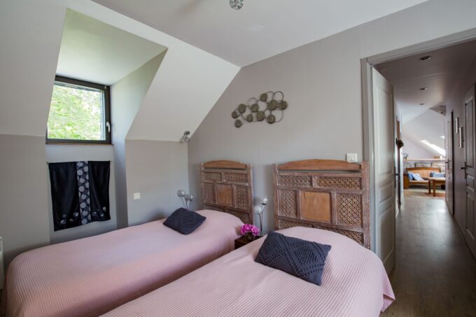
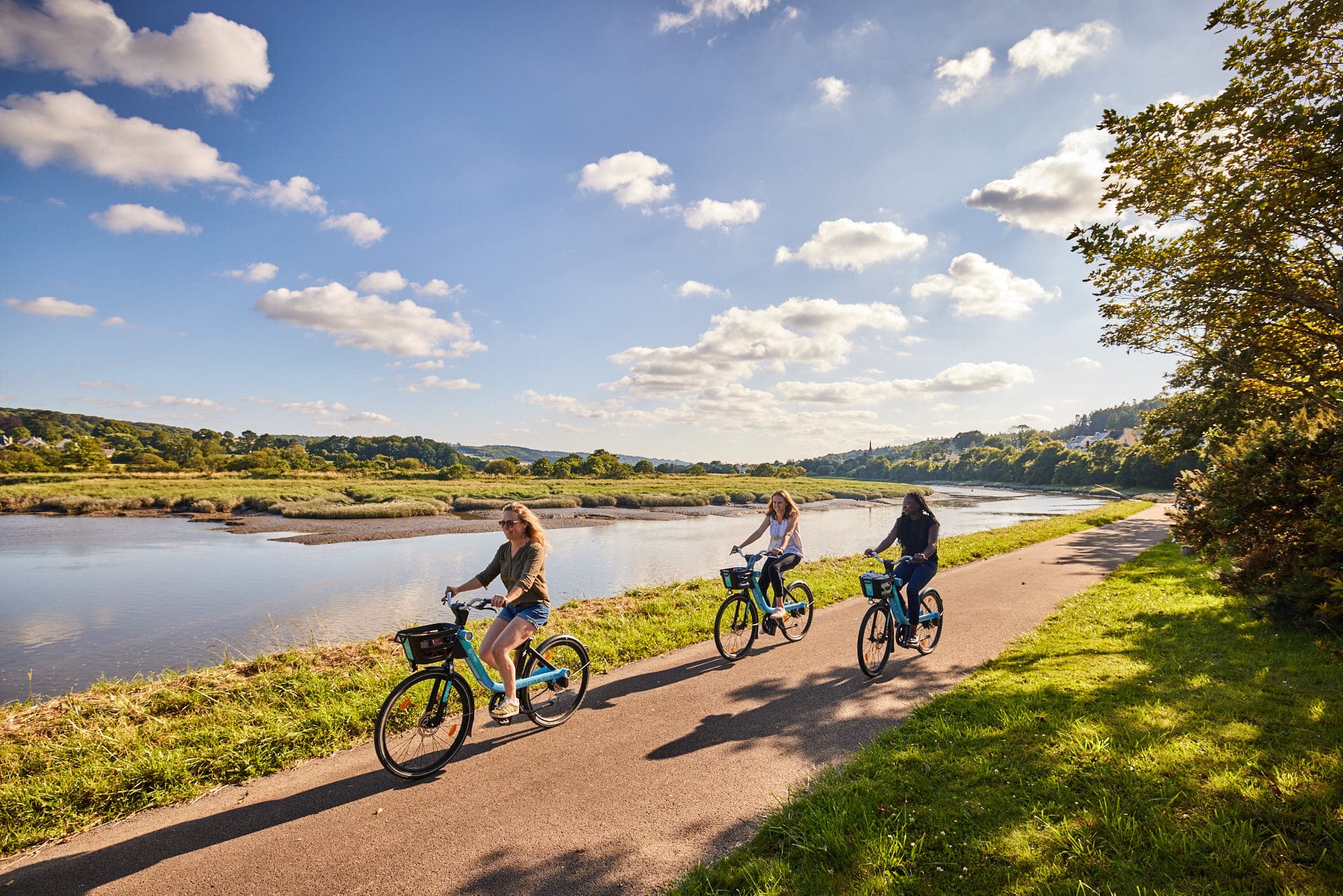
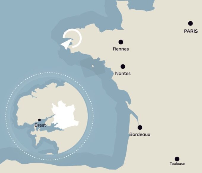
Welcome to our home!
Coming by car
To the north, off the A11-A81 from Paris, access via the Rennes-Brest expressway (RN12 ), Landerneau exit
To the south, Lorient-Quimper-Brest route (RN165 - free), take the Daoulas exit
Distances and journey times, for guidance only
Discover Brest Terres Océanes destination
Brest 25 km - about 25 min // Meneham, Kerlouan on the Côte des légendes 30 km - about 35 min // Plougonvelin, Pointe St-Mathieu 50 km - about 50 min // Plouguerneau, ile Vierge 30 km - about 40 min // Crozon 50 km - about 45 min
Visit the interactive map
In Finistère, just a stone's throw from our home!
Baie de Morlaix 35 km - about 30 min // Roscoff 45 km - 45 min // Quimper 65 km - 45 min
A little further afield in Brittany
Saint-Brieuc 125 km - approx. 1h20 // Lorient 135 km - approx. 1h25 // Rennes 225 km - approx. 2h20
Greater West and Île de France
Nantes 290 km - about 3h30 // Paris 595 km - about 6h
Think about carpooling!
For a day trip, a weekend, or several weeks? Think about carpooling and alternative transport!
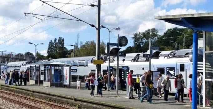
Get on the train!
Coming by train
Served by a TGV and TER station, Landerneau is about 3? hours by train from Paris Montparnasse (TGV Paris Montparnasse-Brest line) and 1? to 2 hours from Rennes.
- The train connects Brest in 15 minutes and Quimper in 1 hour.
- Railway stops at Dirinon, La Forest-Landerneau and La Roche Maurice.
With your bike
Travel by train with your bike - it's possible! From June to the end of August, travel throughout Brittany and guarantee a place for your bike (booking required, subject to availability / €1).
Coming and going by coach
Get around Finistère with the bus network BreizhGo (formerly Pen Ar Bed)
- Landerneau - Daoulas (line no. 39)
- Landerneau - Lesneven, to the beaches of the Côte des Légendes (n°26)
- Brest / Saint-Divy / Saint-Thonan / Ploudaniel (n°27)
- Brest / Daoulas / Logonna-Daoulas / L'Hôpital-Camfrout / Le Faou (n°32)
- Brest / Loperhet / Dirinon (n°33)
Getting around Landerneau by bus
Get around with Ar Bus, the town's bus network, with 6 routes criss-crossing Landerneau from Monday to Saturday.
- Full-fare ticket: €1.25 (valid for 1 hour) / book of 10 tickets: €10.50
- Ticket purchase from the driver and at points of sale
- The bus is free for all on Saturday!
Line information (map, timetables) on www.tet-autocars.com and in real time on the Pysae application available on PlayStore and AppStore.
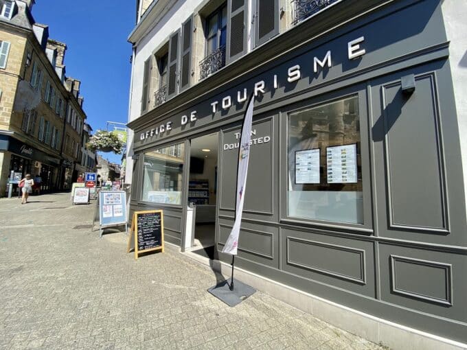
Information booklet available from the Tourist Office
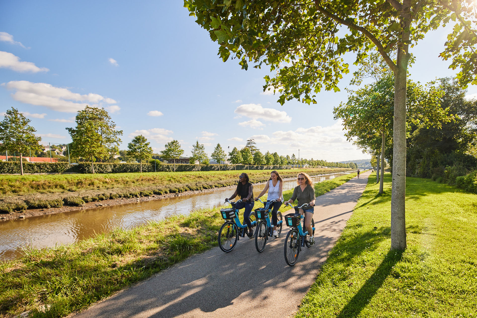
By bicycle
Ti Vélo
Self-service electric bicycles are available. There are 11 recharging stations throughout the city. To use them, go to the Ti Vélo mobile application.
- Rates: bikes are free for the first 20 minutes, then €1.60 per hour.
- Registration will be carried out via the Ti Vélo application and a deposit of €10 will be required (by bank trace).
Airport and ferry
By plane and boat
- Brest-Guipavas Airport is located about 20 minutes from Landerneau.
- With Brittany Ferriesbased in Roscoff (45 minutes from Landerneau). Regular service to Plymouth, Cork and Bilbao.
